SNARL lies along the southeastern boundary of the Long Valley Caldera, a volcanic depression that formed during the cataclysmic eruption of the Bishop Tuff about 760,000 years ago. The caldera is about 18 miles (29 km) from east to west and 10 miles (16 km) north to south and was originally about 2 miles (3 km) deep. Today, however, it has only about 0.6 mile (1 km) of topographic relief because the caldera depression has been partially filled in by subsequent volcanic rocks, lake beds, glacial deposits, and alluvium.
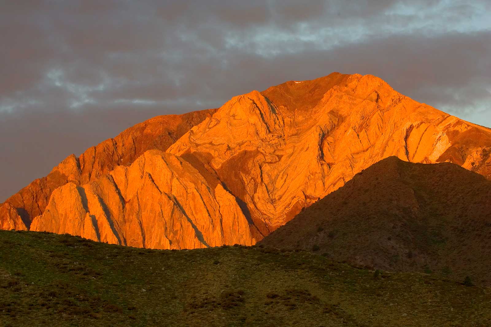
Although SNARL itself lies within the Long Valley caldera, exposures of pre-caldera rocks of the Sierra Nevada are widespread less than 1½ miles (2½ km) to the south and southwest. The pre-caldera rocks include granitic rocks, some of which are over 200 million years old that can be seen on the north flank of McGee Mountain, southeast of SNARL. Most of the nearby Sierran rocks, however, are metamorphosed sedimentary rocks of Paleozoic age that are exposed to the east, west, and south of Convict Lake. These rocks span the entire Paleozoic era from Cambrian time (about 500 million years ago) to Permian time (about 260 million years ago). The Paleozoic rocks originated as sediments in an ocean that was initially a deep-water basin but gradually became a shallow-water environment starting about 350 million years ago. A representative section of these ancient rocks can be seen by looking across Convict Lake at Sevehah Cliff, on the face of Laurel Mountain, which is 3¼ miles (5¼ km) southwest of the reserve.
To the north of the Sierra Nevada range front in the vicinity of the reserve, the central part of the caldera is occupied by the “resurgent dome,” a complex of low hills covered by Jeffrey pine forest. The resurgent dome was formed after the collapse of the caldera by the extrusion of a series of lava flows and domes between about 730,000 and 620,000 years ago. The rocks of the resurgent dome consist entirely of rhyolite, some of which erupted as either pumice (frothy rock) or obsidian (black glass). Rhyolite, a very fine grained rock, is the volcanic equivalent of granite, a coarse-grained rock. If magma (molten rock) is erupted at the Earth’s surface so that it cools quickly, it forms rhyolite, whereas if it is allowed to cool slowly at depth in the Earth (say, at least several miles below the surface), it forms granite.
The reserve itself sits on alluvial deposits reworked from glacial deposits and laid down over the millennia by Convict Creek, which meanders through the property. The deposits include a component of pumice derived from volcanic eruptions that have occurred dozens of times during the past several thousand years. Source vents for the volcanic eruptions include Mammoth Mountain, the Inyo Craters, and the Mono Craters chain. Two of the more recent eruptions occurred in the Inyo Craters chain around A.D. 760 and A.D. 1240.
To the north of the reserve, on the north side of U.S. Highway 395, is a ridge formed by a series of rhyolite lava flows that were erupted about 300,000 years ago. The rhyolite mass north of Highway 395 forms a ridge about 400 feet (120 m) high. This rhyolite and the older rhyolite that formed the resurgent dome were derived from the same body of magma at depth in the Earth. The 300,000-year-old rhyolite is one of three rhyolite masses that occur around the margin of the resurgent dome. A mass on the north side of the resurgent dome has been dated at about 500,000 years, whereas several rhyolite domes north of the town of Mammoth Lakes on the west side of the resurgent dome have been dated at about 100,000 years. These three sets of radiometric dates, all determined by the potassium-argon method, suggest that rhyolite eruptions have occurred around the perimeter of the resurgent dome at intervals of 200,000 years and that another similar eruption may occur 100,000 years from now.
The hot springs along Hot Creek occur where the northward projection of the Hilton Creek fault crosses the 300,000-year-old rhyolite flows. The fault presumably provides a conduit by which the heated groundwater circulates between the hot rocks at depth and the surface. The Hilton Creek fault is a significant fault along the eastern front of the Sierra Nevada south of the Long Valley caldera. To the south of McGee Creek, the fault has produced an escarpment along the Sierran range front that is 3600 feet (1100 m) high. At McGee Creek itself, the Hilton Creek fault shows evidence of at least 50 feet (15 m) of vertical offset within the past 20,000 years, which suggests that the fault is still active. The fault passes about 1.2 miles (2 km) east of the residence area of the reserve.
To the south of SNARL is a huge ridge that towers 1000 feet (300 m) above the lowland of Convict Creek. This ridge is a lateral moraine, which is a linear ridge of glacially transported material. It was deposited by a glacier that descended the canyon of Convict Creek during the Tahoe glaciation and flowed eastward past Tobacco Flat, south of Convict Creek. The Tahoe (early Wisconsin) glacial episode is generally dated at between 75,000 and 60,000 years ago. Like most Eastern Sierra glacial deposits, this lateral moraine consists of rock particles that range in size from silt to large boulders. During a later glaciation known as the Tioga glacial episode, another glacier removed the upstream part of the Tahoe lateral moraine and deposited its own moraines along the present course of Convict Creek north of Convict Lake. The Tioga glacial event occurred between 25,000 and 12,000 years ago. The ice-transported deposits of the Tahoe and Tioga glaciations provided much of the material that was later carried by wind and water to form the sediments that today blanket the site of SNARL.